
Field guide
Trails in Bentonville, AR
15 trails, from the paved Greenway to the mountain bike systems, with trailheads, miles, and how hard they ride.
Field notes
The Greenway ties the trails together
Bentonville’s trails come in two kinds. The paved Razorback Greenway runs past Crystal Bridges, Compton Gardens, and the square on its 40-mile way from Fayetteville to Bella Vista. Off it are the mountain bike systems: Slaughter Pen starts at the edge of downtown, Coler sits to the west with a campground and a café, and Hand Cut Hollow was built entirely by hand east of I-49. Just north, Bella Vista’s Back 40 and Little Sugar add close to 90 miles more. The difficulty ratings here follow each system’s own trail map.
Show sourcesHide sources
- Singletracks: How Bentonville’s Slaughter Pen trails helped carve its future
- City of Bentonville: Slaughter Pen Trails
- Slaughter Pen trail map, 2022 update
- Peel Compton Foundation: About Coler
- Peel Compton Foundation: Visit Coler
- Northwest Arkansas Trailblazers: Hand Cut Hollow map
- OZ Trails: Hand Cut Hollow
- Razorback Greenway: History
- Crystal Bridges: Nature and trails
- City of Bella Vista: The Back 40
- City of Bella Vista: Little Sugar Trails
15 places
Razorback Regional Greenway
Paved greenway · Bentonville
2400 N Walton Blvd
Trail facts and contact
- Address
- 2400 N Walton Blvd, Bentonville, AR
- Website
- razorbackgreenway.org
- Trailhead
- North Bentonville Trail
- Open
- Sunrise to sunset
- Length
- 40 miWhole greenway. Over 10 mi run through Bentonville.
- Surface
- Paved
- Dogs
- Leashed dogs allowed
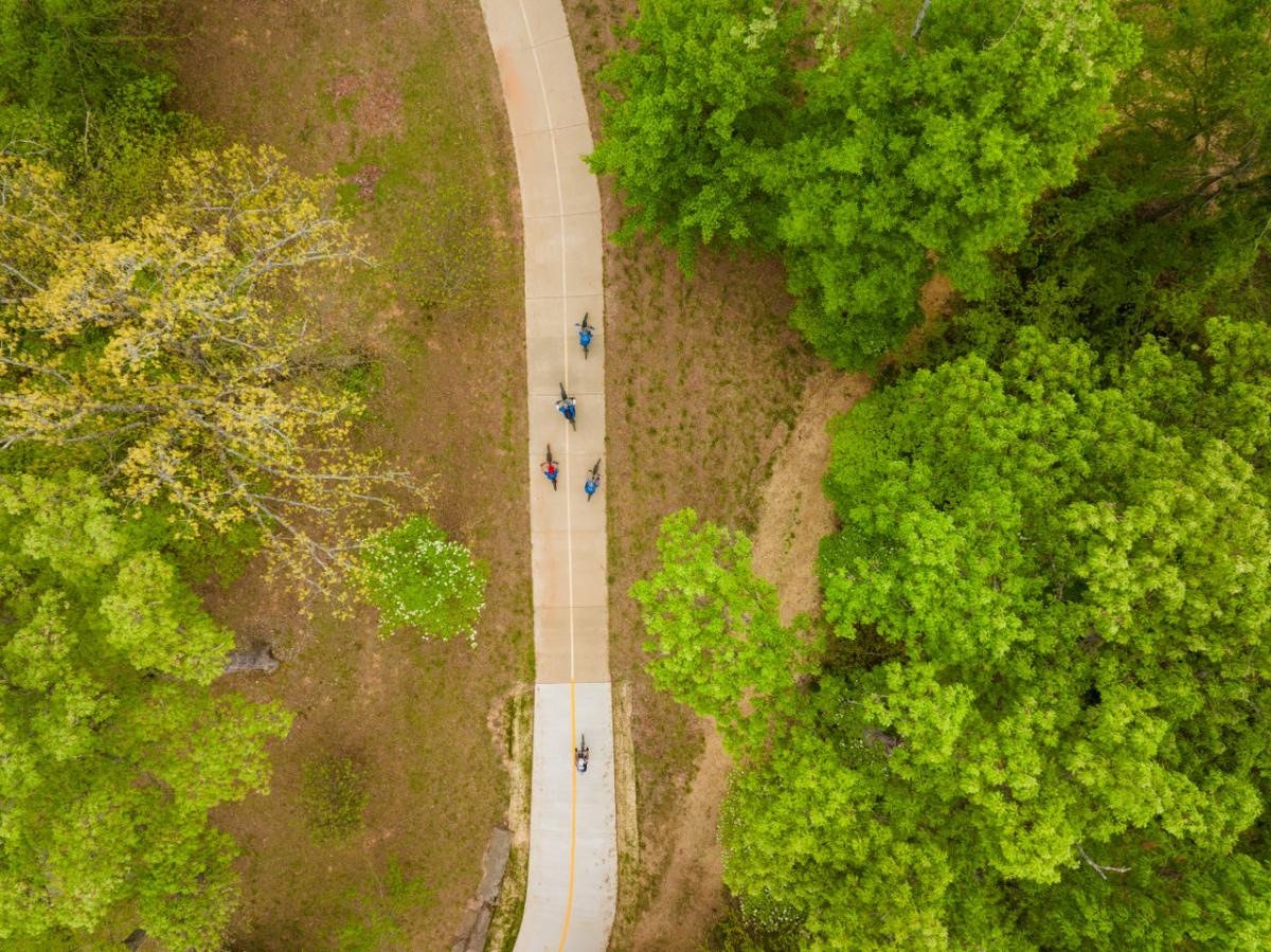
A 40-mile paved trail that links seven Northwest Arkansas cities, from Kessler Mountain Regional Park in Fayetteville to Mercy Way Bridge in Bella Vista. More than 10 miles of it run through Bentonville, past Slaughter Pen, Crystal Bridges, Compton Gardens, downtown, and the Walmart Home Office. The speed limit is 15 mph.
Slaughter Pen Trails
Mountain bike trail system · Bentonville
2400 N Walton Blvd
Trail facts and contact
- Address
- 2400 N Walton Blvd, Bentonville, AR 72712
- Website
- bentonville.ar.gov
- Trailhead
- Parking just south of the Bark Park
- Open
- Sunrise to sunset
- Length
- 23 miThe city says 23+. Other trail guides count over 30.
- Surface
- Natural
- Dogs
- Leashed dogs allowed
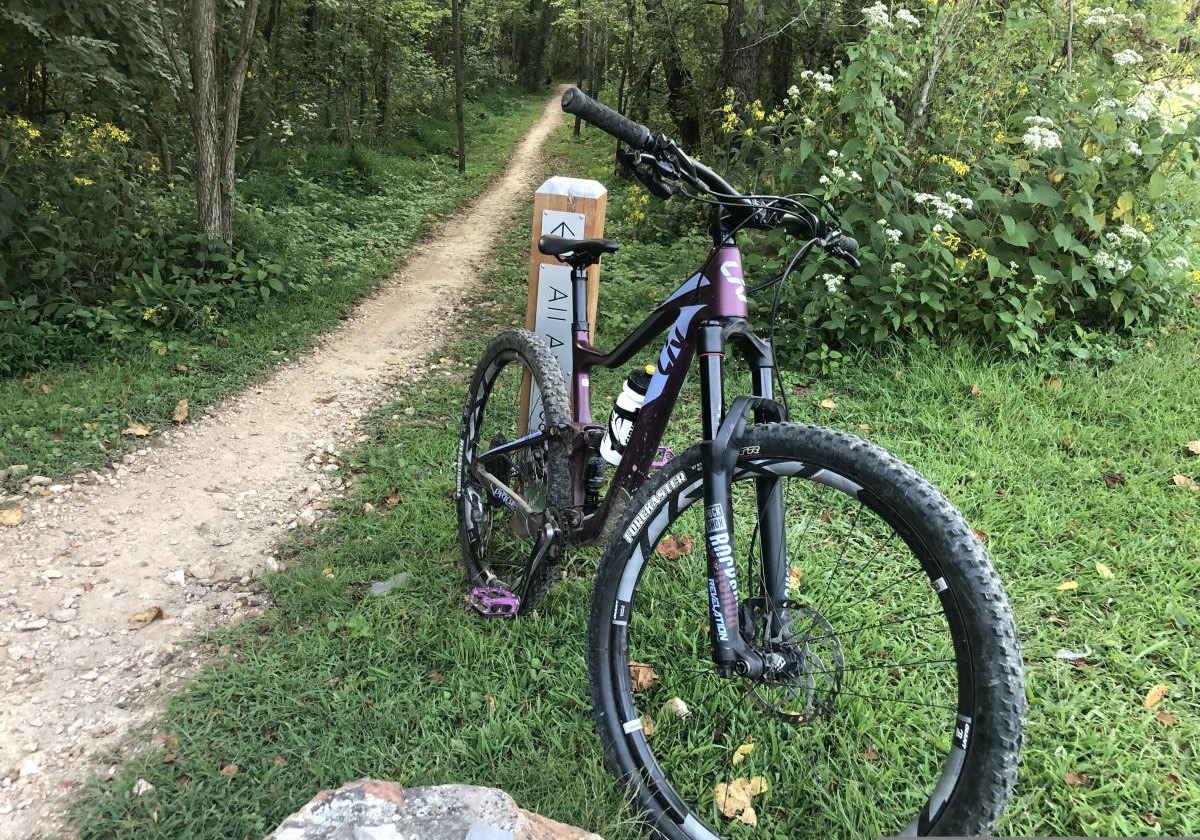
More than 23 miles of mountain bike trail on the north side of downtown, rated a Silver Level Ride Center by the International Mountain Bicycling Association. The trails run from easy to extremely difficult, and there is a free-ride area with table-top jumps, bermed turns, and a wall ride. The paved Razorback Greenway runs through all three phases, so you can ride in from Compton Gardens and the square.
Coler Mountain Bike Preserve
Mountain bike preserve · Bentonville
2500 NW Coler-Grove Ln
Trail facts and contact
- Address
- 2500 NW Coler-Grove Ln, Bentonville, AR 72712
- Website
- peelcompton.org
- Trailhead
- Coler Grove Parking Lot
- Open
- Sunrise to 11 PM
- Length
- 20 miMore than 20 mi across 300 acres
- Surface
- Paved and natural
- Dogs
- Leashed pets allowed
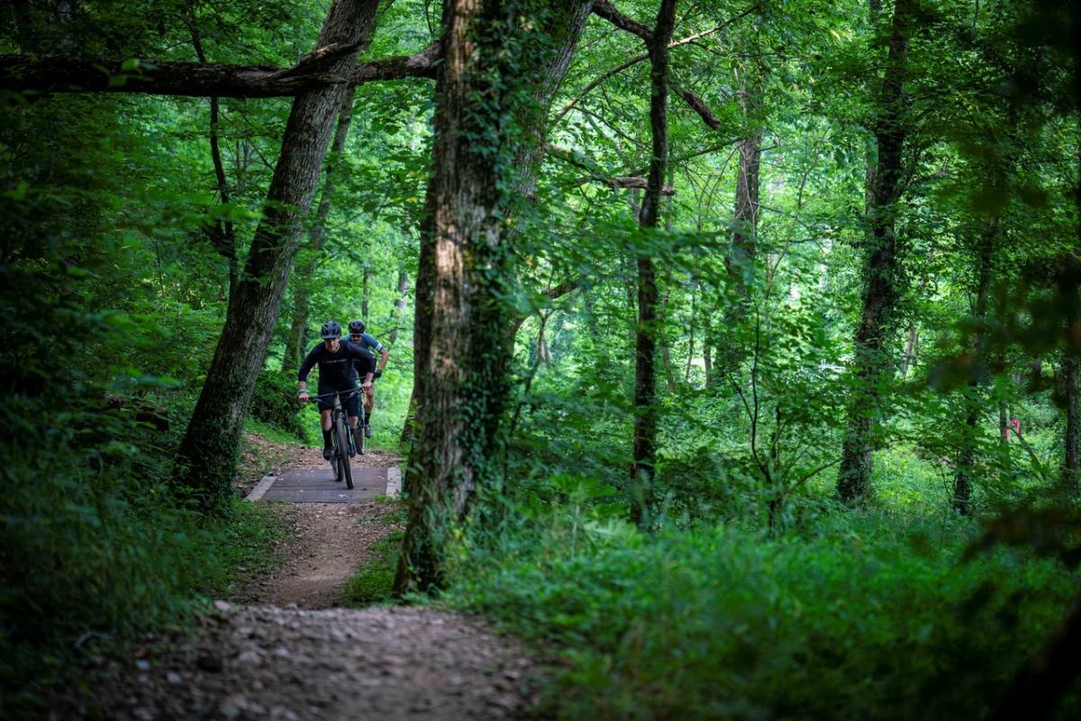
A free, 300-acre preserve west of downtown with more than 20 miles of professionally built trail. The Westside is for beginner and intermediate riders, and the Eastside is for more experienced riders, with downhill runs that start at The Hub. The paved Applegate Trail runs through it to downtown. There are no bike rentals on site.
Hand Cut Hollow
Hand-built mountain bike trails · Bentonville
2909 NE J St
Trail facts and contact
- Address
- 2909 NE J St, Bentonville, AR 72712
- Website
- oztrails.com
- Trailhead
- J St. parking lot
- Length
- 16 miPer OZ Trails
- Surface
- Natural
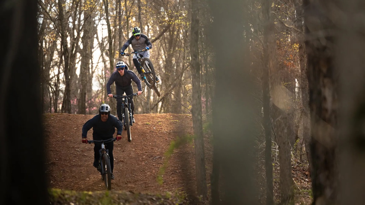
Sixteen miles of singletrack built entirely by hand in northeast Bentonville, east of I-49. The Traverse Loop circles a downhill hub with seven downhill lines, and Mother Necessity is the climb back up. Singletrack Trails broke ground in November 2020, and the trails are owned and operated by the Northwest Arkansas Trailblazers.
Crystal Bridges Trails
Walking and nature trails · Bentonville
600 Museum Way
Trail facts and contact
- Address
- 600 Museum Way, Bentonville, AR 72712
- Phone
- (479) 418-5700
- Website
- crystalbridges.org
- Trailhead
- Museum Parking garage
- Open
- Sunrise to sunset
- Length
- 5 miMore than 5 mi across the grounds
- Surface
- Paved and natural
- Dogs
- Leashed dogs welcome
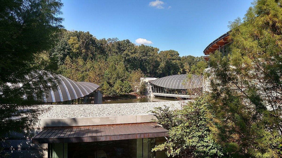
More than five miles of trails wind through the museum’s 134-acre site of Ozark forest. They are free and open daily from sunrise to sunset. The paved Art Trail and North Forest Trail pass outdoor sculpture, and the Crystal Bridges Trail runs through Compton Gardens to downtown.
Bella Vista Lake Trail
Lake loop and bike trails · Bentonville
Bella Vista Lake Park
Trail facts and contact
- Address
- Bella Vista Lake Park, off Hwy 71B North, Bentonville, AR
- Website
- bentonville.ar.gov
- Trailhead
- Bella Vista Lake Park
- Open
- Sunrise to sunset
- Length
- 1.75 miPaved loop, plus 2.5 mi of mountain bike trails
- Surface
- Paved and natural
- Dogs
- Leashed dogs allowed
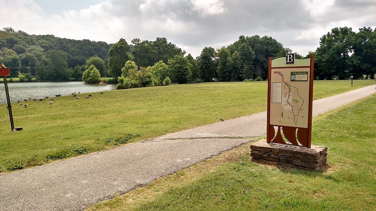
A 1.75-mile hard-surface loop around Lake Bella Vista, in a 132-acre Bentonville city park at the north end of town, with 2.5 miles of mountain bike trails beside it. The loop is not fully open while the city removes the dam and restores Little Sugar Creek.
Park Springs Park Trail
Wooded nature trail · Bentonville
300 NW 10th St
Trail facts and contact
- Address
- 300 NW 10th St, Bentonville, AR
- Website
- bentonville.ar.gov
- Trailhead
- Park Springs Park
- Open
- Sunrise to sunset
- Length
- 1.5 mi
- Dogs
- Leashed dogs allowed
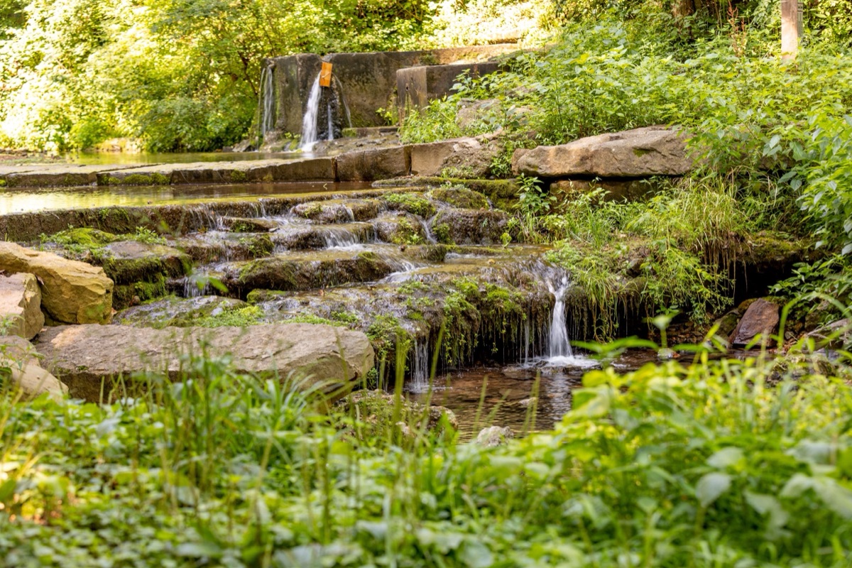
A 1.5-mile trail through woods past a natural spring, with large rock benches along the way. The park dates to the 1890s, when two springs were found there, and the Bentonville Rotary dedicated its arboretum trail in 1996. The official Slaughter Pen map rates its trails easy and shows them linking north under Tiger Blvd into Slaughter Pen.
Citizens Park Trail
Paved park loop · Bentonville
1101 SW Citizens Circle
Trail facts and contact
- Address
- 1101 SW Citizens Circle, Bentonville, AR
- Website
- bentonville.ar.gov
- Trailhead
- Bentonville Community Center
- Open
- Sunrise to sunset
- Length
- 1 mi
- Surface
- Paved
- Dogs
- Leashed dogs allowed
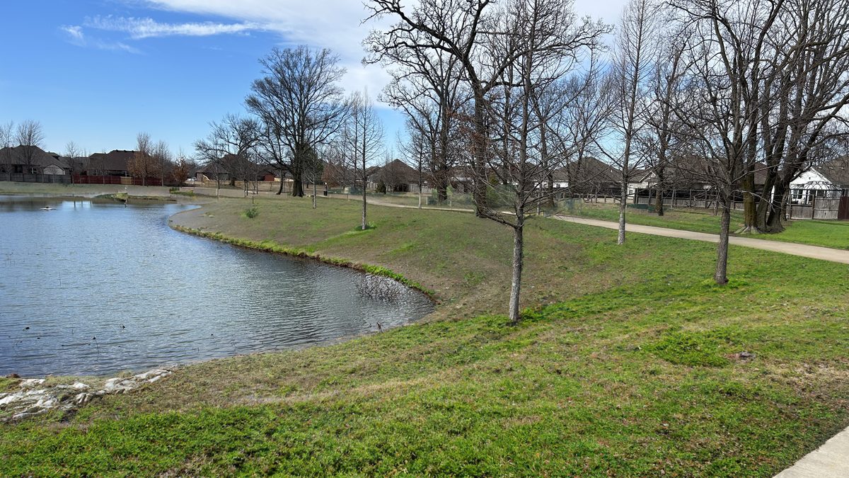
A one-mile paved trail that loops through Citizens Park, home of the Bentonville Community Center.
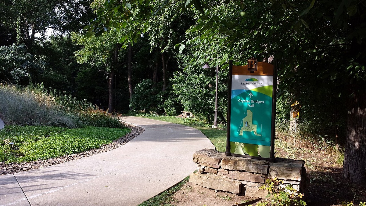
Compton Gardens & Arboretum
Garden trails · Bentonville
312 N Main St
Trail facts and contact
- Address
- 312 N Main St, Bentonville, AR 72712
- Phone
- (479) 254-3870
- Website
- peelcompton.org
- Open
- Sunrise to sunset
- Surface
- Paved and natural
A free, 7-acre garden of native plants and woodland in downtown Bentonville. The Razorback Greenway and the All-American mountain bike trail both pass through it, and its paved and soft-surface paths connect the square to Crystal Bridges. The foundation’s site notes limited trail access during bridge improvements.
Osage Park
Wetland boardwalks · Bentonville
700 SW 16th St
Trail facts and contact
- Address
- 700 SW 16th St, Bentonville, AR 72712
- Phone
- (479) 254-3870
- Website
- peelcompton.org
- Trailhead
- Main lot by the pavilion
- Open
- Sunrise to sunset
- Surface
- Paved
- Dogs
- Leashed dogs allowed, and there is a dog park
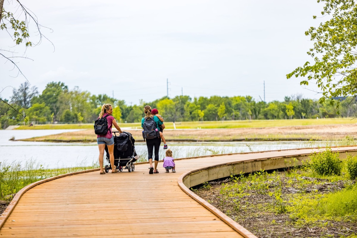
Paved trails and floating boardwalks run through a 12-acre wetland, past prairie and a beaver wetland, beside Lake Bentonville. The park opened in 2021 and is free.
Little Sugar Trails
Mountain bike trail system · Bella Vista
2 Kingsdale Ln
Trail facts and contact
- Address
- 2 Kingsdale Ln, Bella Vista, AR
- Website
- bellavistaar.gov
- Trailhead
- Kingsdale Complex
- Open
- 5 AM to 10 PM
- Length
- 50 miNearly 50 mi, by the City’s count
- Surface
- Natural
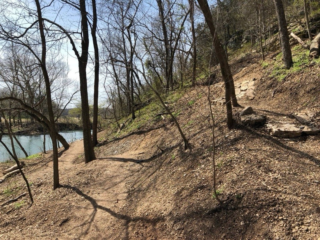
Nearly 50 miles of trails on Bella Vista’s west side, built for mountain biking and open to walkers. The system runs under bluffs along Sugar Creek and reaches the waterfall on Tanyard Creek. Eight tunnels and three steel bridges carry it under roads and over streams.
The Back 40
Mountain bike trail system · Bella Vista
1 Wem Ln
Trail facts and contact
- Address
- 1 Wem Ln, Bella Vista, AR
- Website
- bellavistaar.gov
- Trailhead
- Lake Ann Trailhead
- Open
- 5 AM to 10 PM
- Length
- 40 miNearly 40 mi. The outer Back 40 Loop is 21.4 mi.
- Surface
- Natural
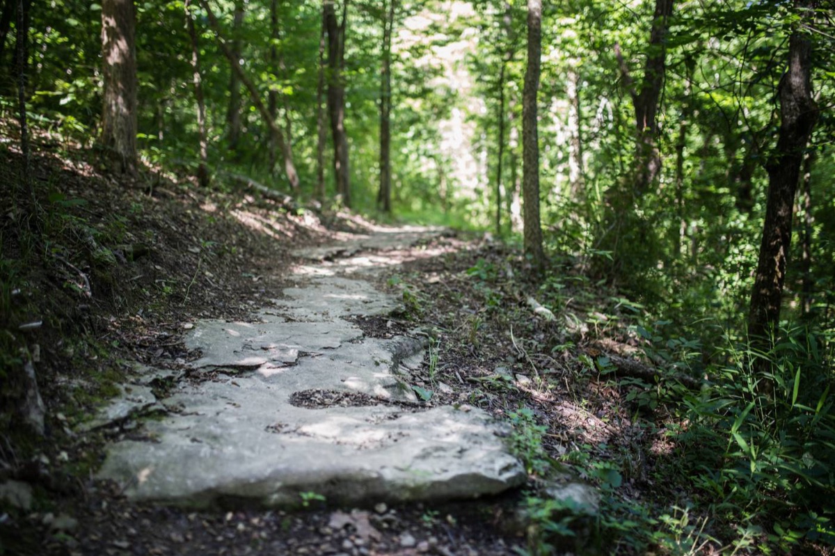
Nearly 40 miles of singletrack on the east side of Bella Vista, built for mountain biking and open to hikers. The 21.4-mile Back 40 Loop circles the network, and the Lake Ann Trailhead sits at its center. The first 15 miles opened in August 2016, built by NWA Trailblazers with a $3 million Walton Family Foundation grant.
Blowing Springs Trails
Mountain bike trail system · Bella Vista
700 Blowing Spring Rd
Trail facts and contact
- Address
- 700 Blowing Spring Rd, Bella Vista, AR
- Website
- bellavistapoa.com
- Trailhead
- Blowing Springs Trailhead
- Length
- 6.3 mi
- Surface
- Natural
- Dogs
- Leashed dogs only
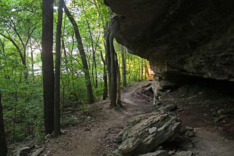
6.3 miles of natural-surface trails at Blowing Springs Park, built for mountain bikers of every skill level and open to hikers. They run along bluffs, springs, and caverns and cross eight bridges. It is the first dirt you reach riding north from Bentonville, and one of the ways into the Back 40.
Blowing Springs Greenway
Paved greenway · Bella Vista
700 Blowing Spring Rd
Trail facts and contact
- Address
- 700 Blowing Spring Rd, Bella Vista, AR
- Website
- bellavistapoa.com
- Trailhead
- Blowing Springs Trailhead
- Length
- 3 mi
- Surface
- Paved
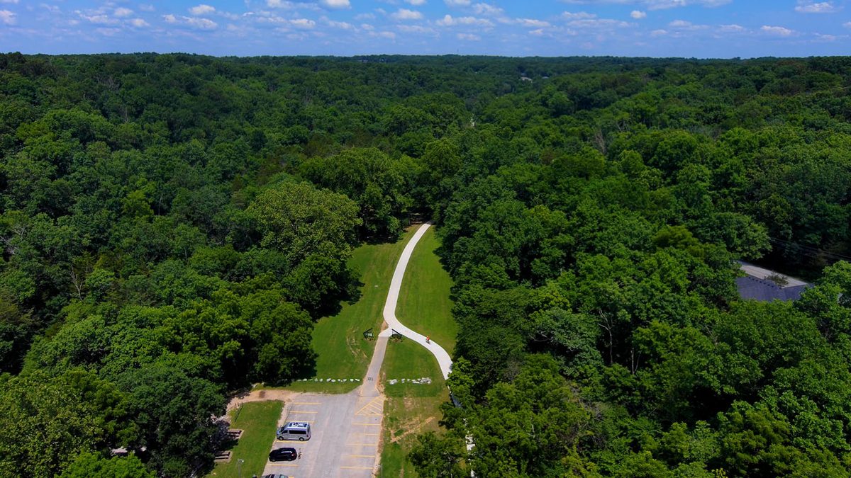
A 10-foot-wide, three-mile paved trail from Metfield Park to the northern end of the Razorback Greenway. NWA Trailblazers designed it, with funding from a $3 million Walton Family Foundation grant.
Tanyard Creek Nature Trail
Nature trail · Bella Vista
Off Hwy 340
Trail facts and contact
- Address
- Off Hwy 340, less than a mile west of Town Center, Bella Vista, AR
- Website
- bellavistapoa.com
- Trailhead
- Tanyard Creek Pavilion
- Length
- 2 miAbout 2 mi
- Surface
- Paved and natural
- Dogs
- Leashed dogs allowed
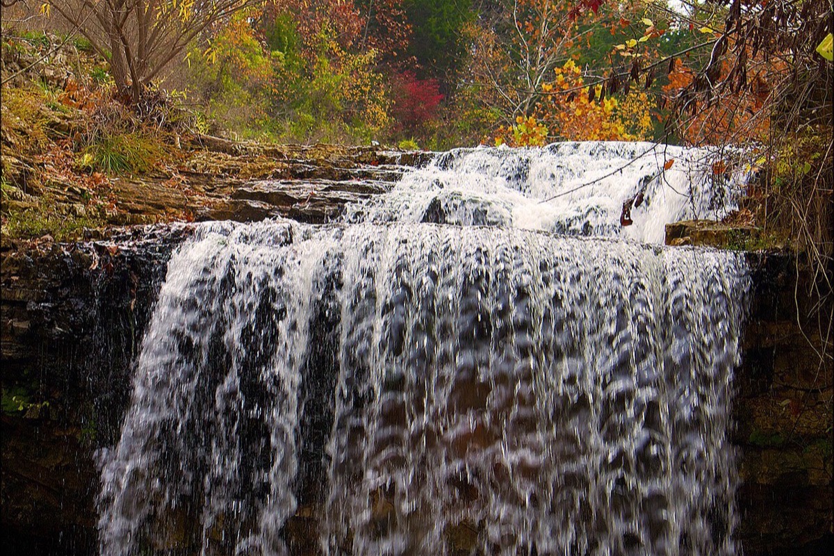
About two miles of walking trail that volunteers began building in 1991: a level 0.3-mile paved loop and a hillier natural-surface trail through the woods, past a waterfall below the Lake Windsor Dam. Bikes are not allowed.